This will allow 10% discounts to our citizens that have federal flood insurance!
MORE INFO CLICK HERE
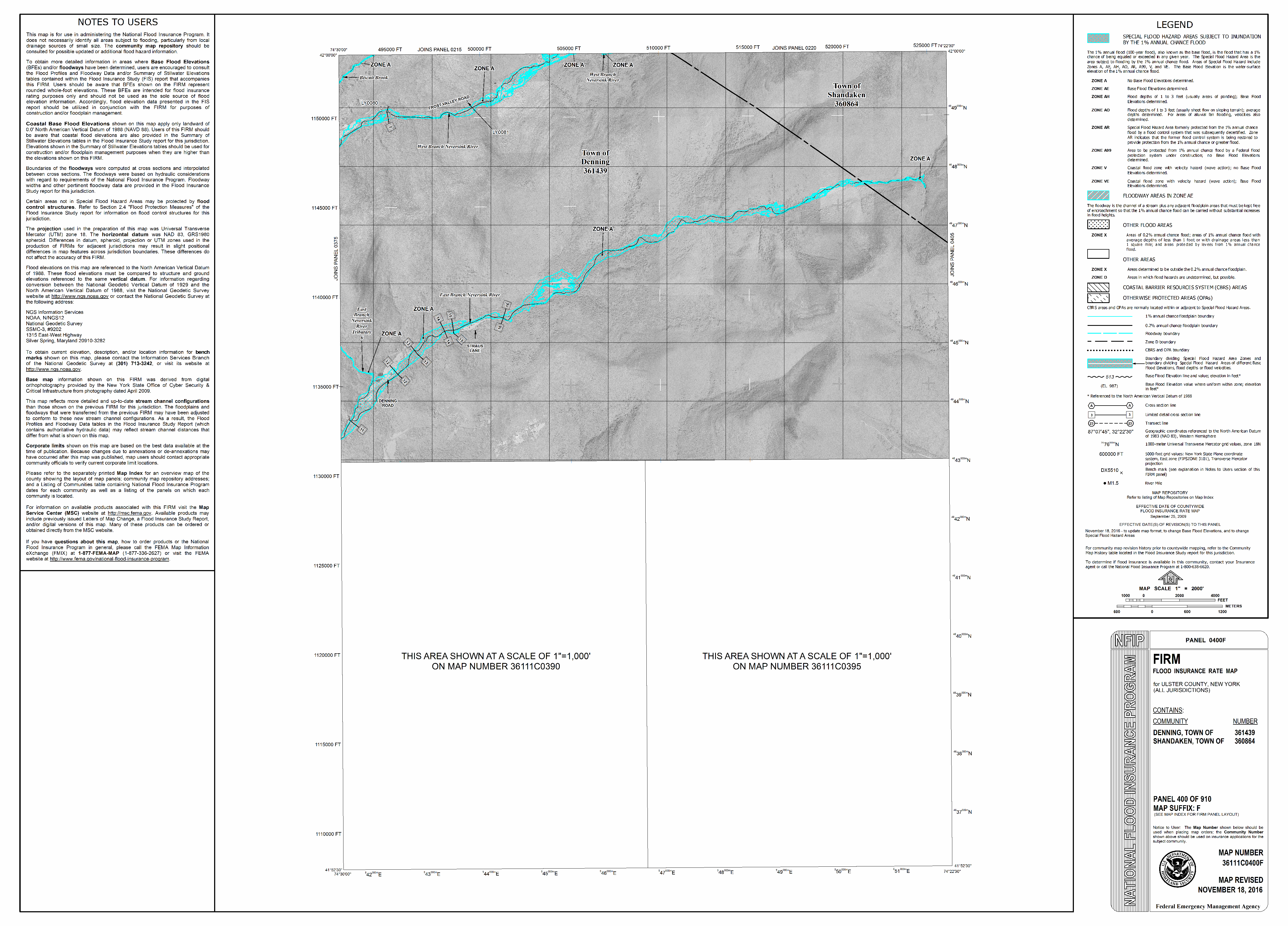
Flooding is a serious natural threat in the Town of Shandaken. We adhere to strict guidelines in order to our homes and businesses as many are relegated to the valley floors and are located within or near the regulatory floodplain as designated by FEMA (Federal Emergency Management Agency). Here is a link regarding the National Flood Insurance Program (NFIP) if you wish a preliminary understanding of floodplains, their functions and measures you can take to provide protections for your property and families:
FloodSmart | The National Flood Insurance Program
We also have staff available (M-F/9am- 3pm) to answer any questions you may have regarding your property in relation to the floodplain.
The following link can provide a detailed picture of your home’s location in or near the flood plain.
Note: link will come up focused on intersection of NYS Rte 28 & 42 in Shandaken. Scroll to your home on the page.
ArcGIS Web Application
USGS Gauges in Town. Note the data on these sites is generally about 1-2 hrs behind real time but is a good tool to see what is happening during an event.
***********************************************
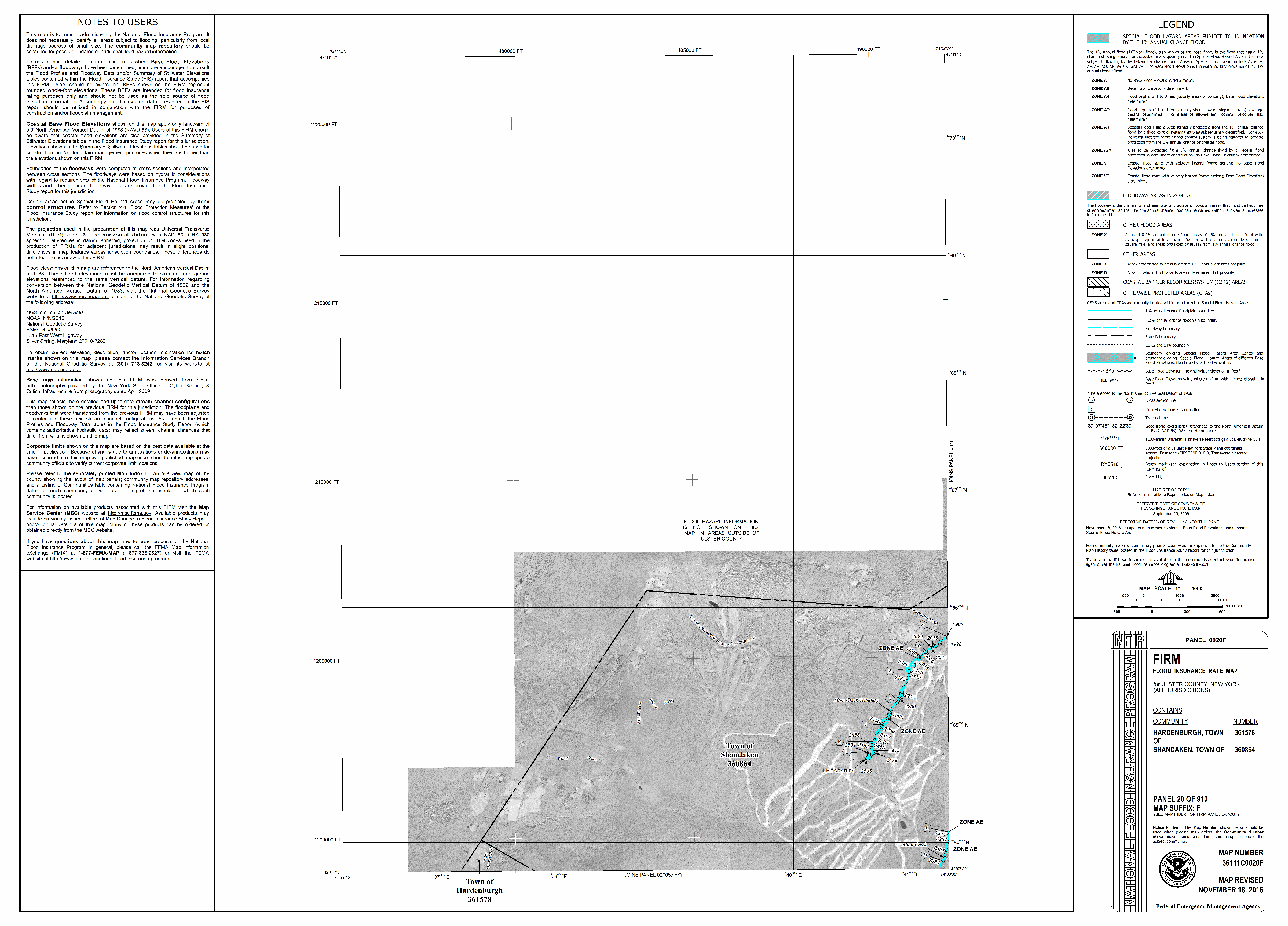
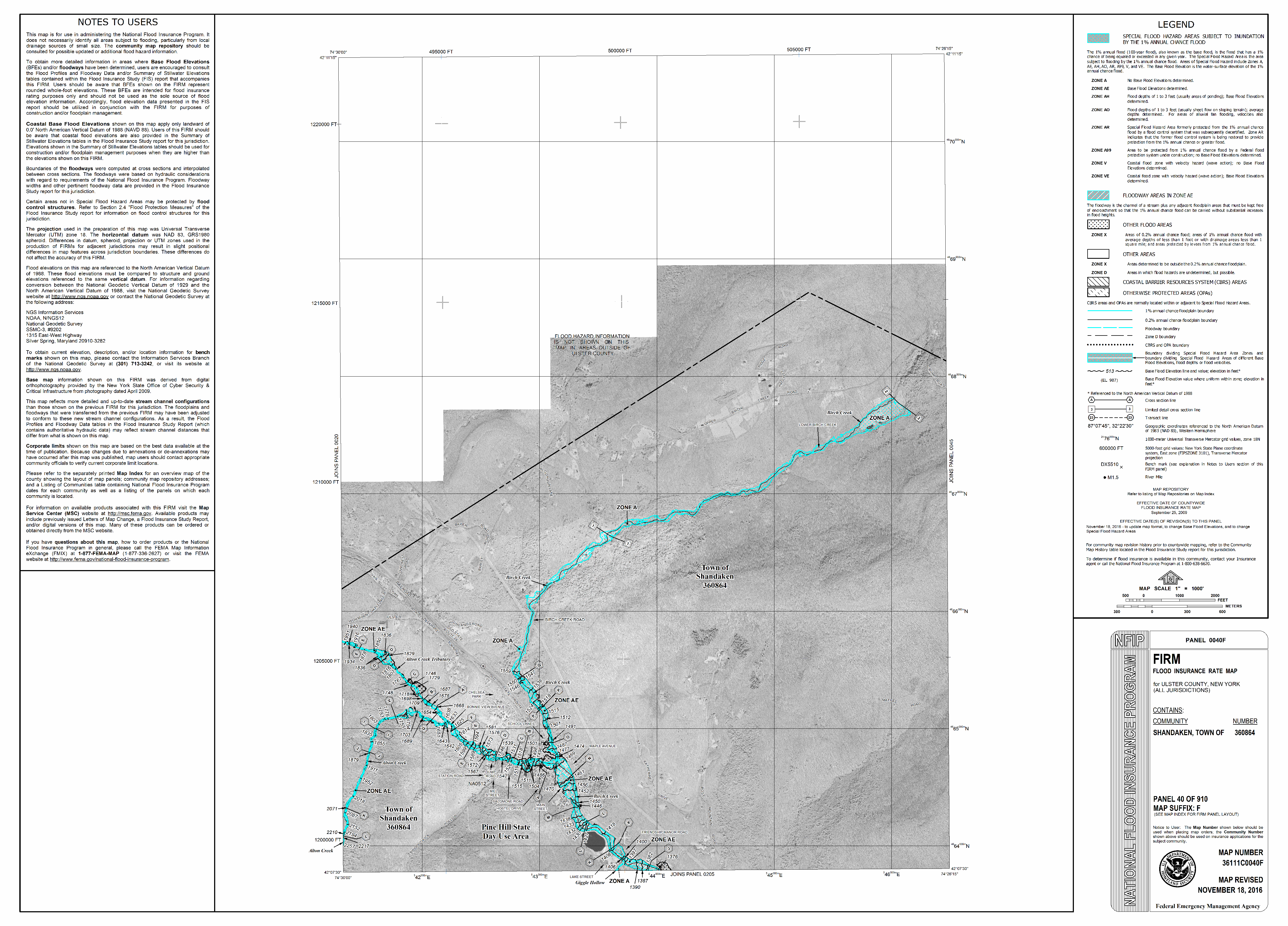
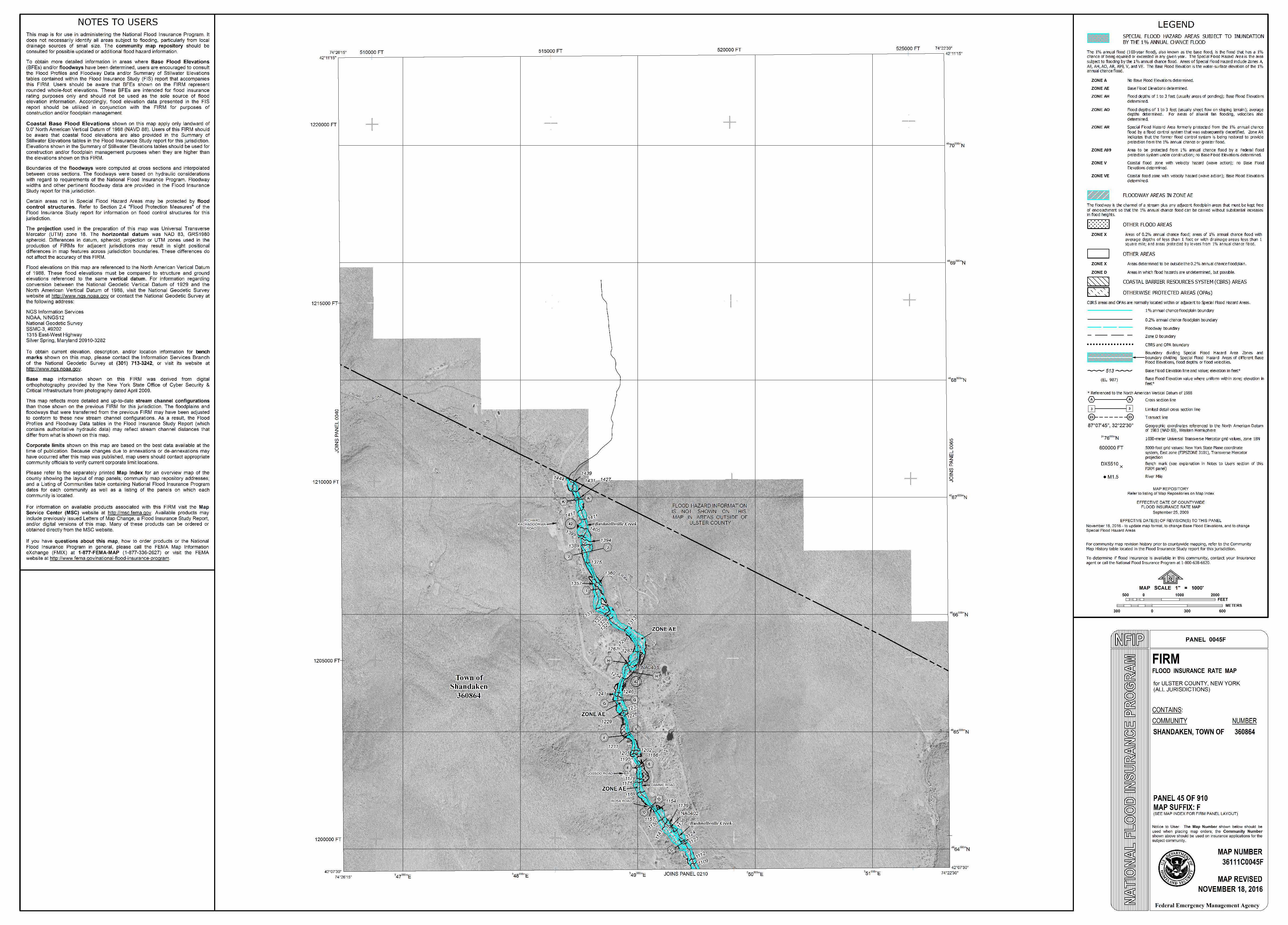
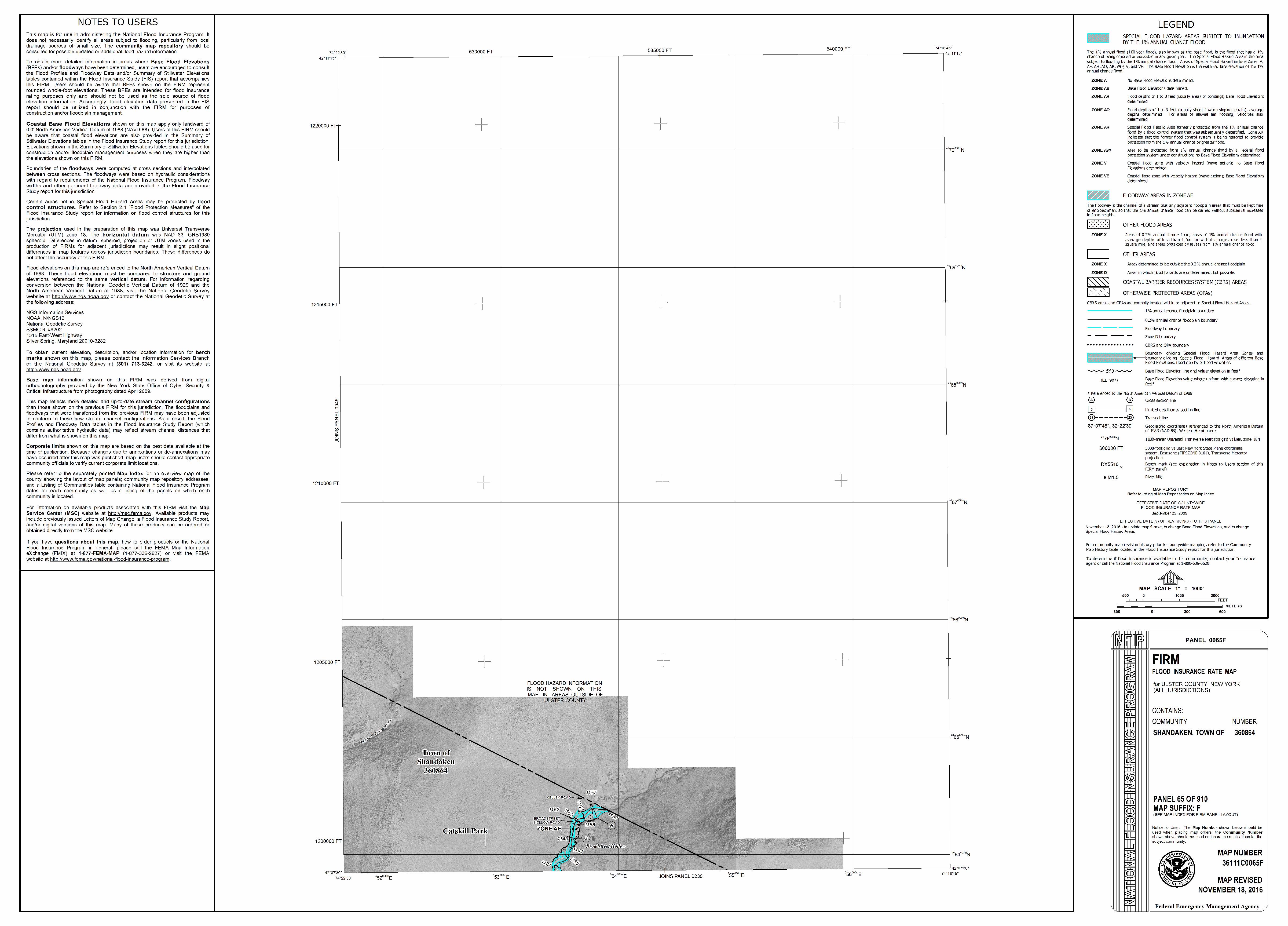
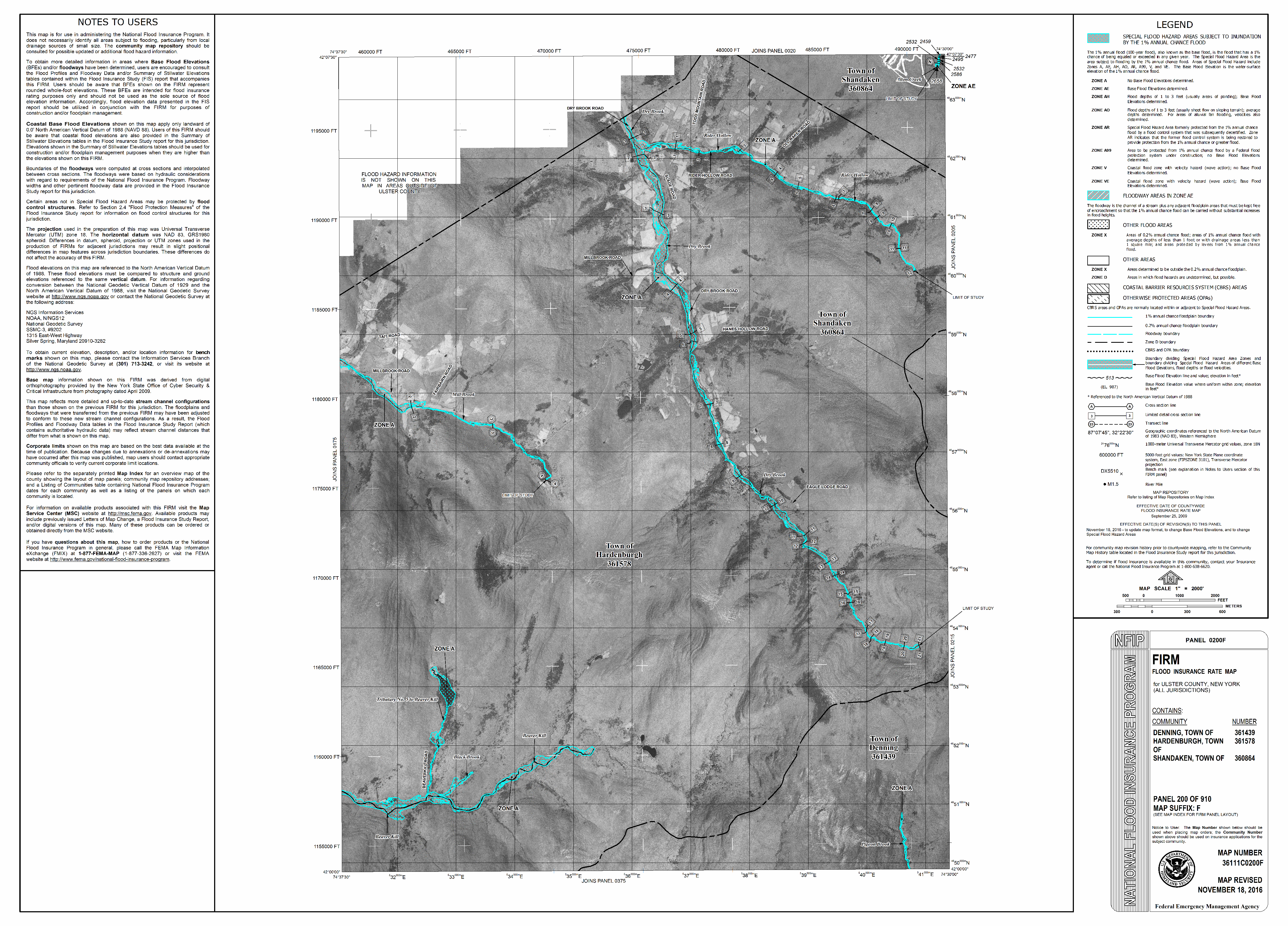
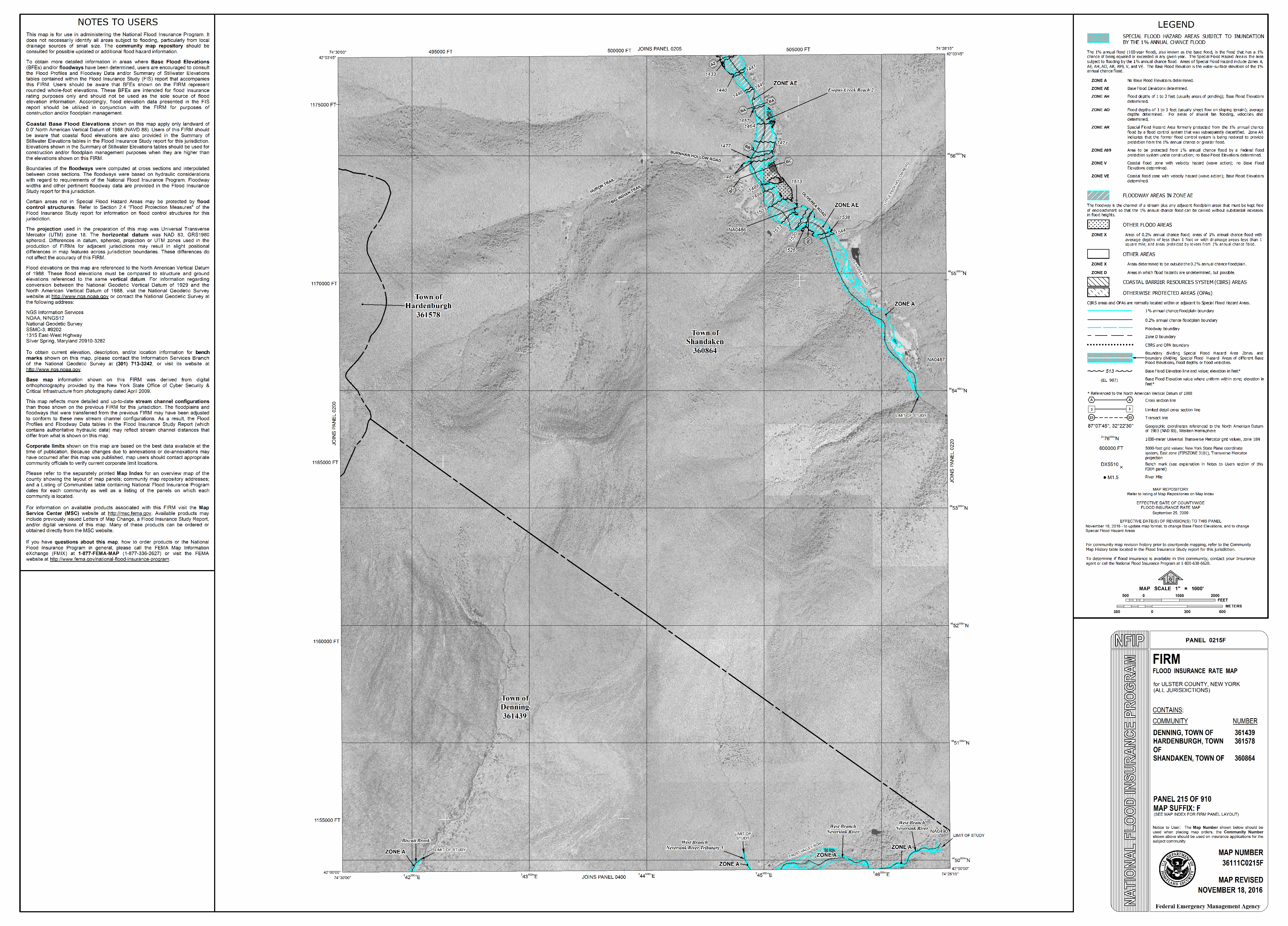
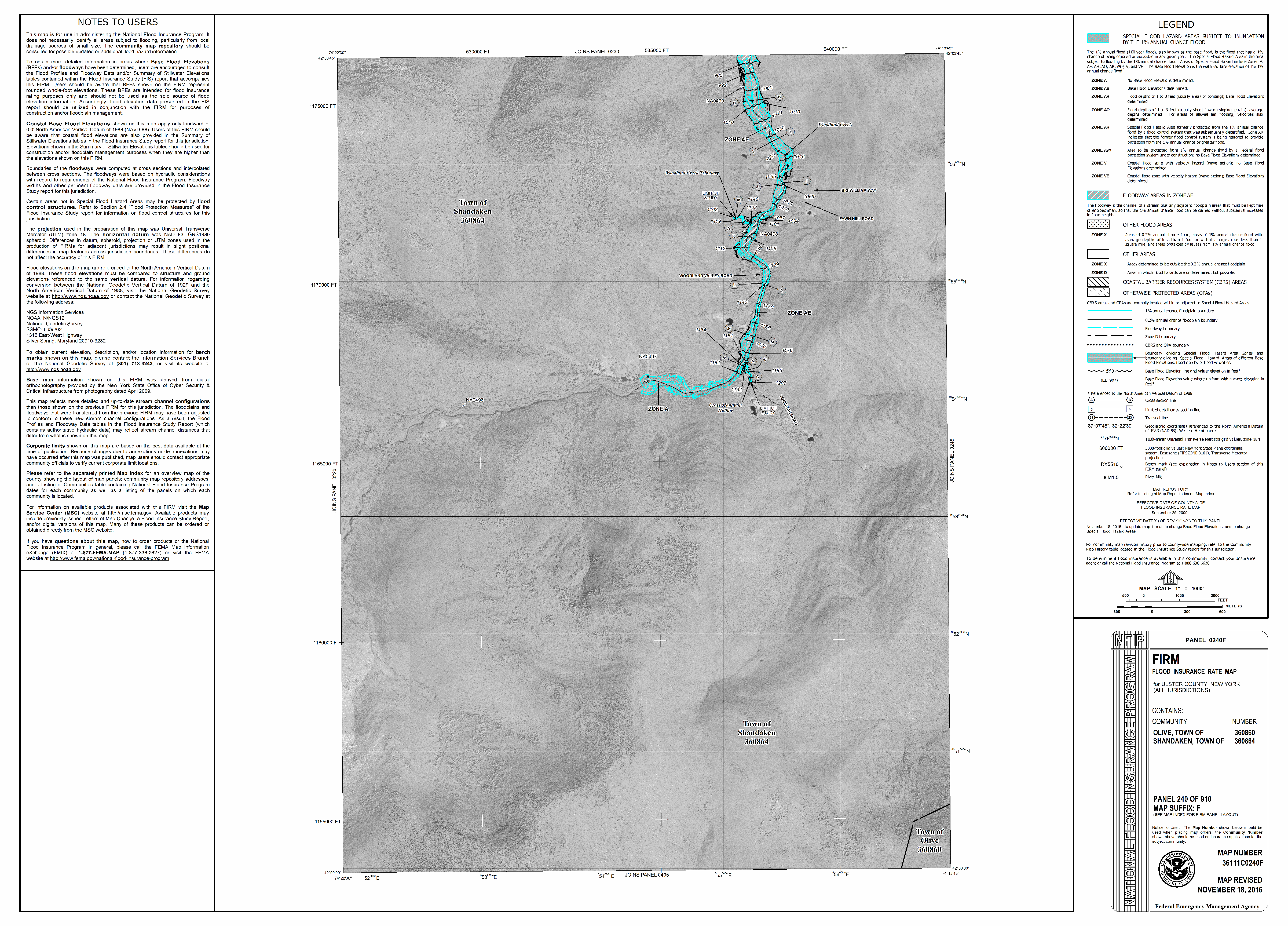
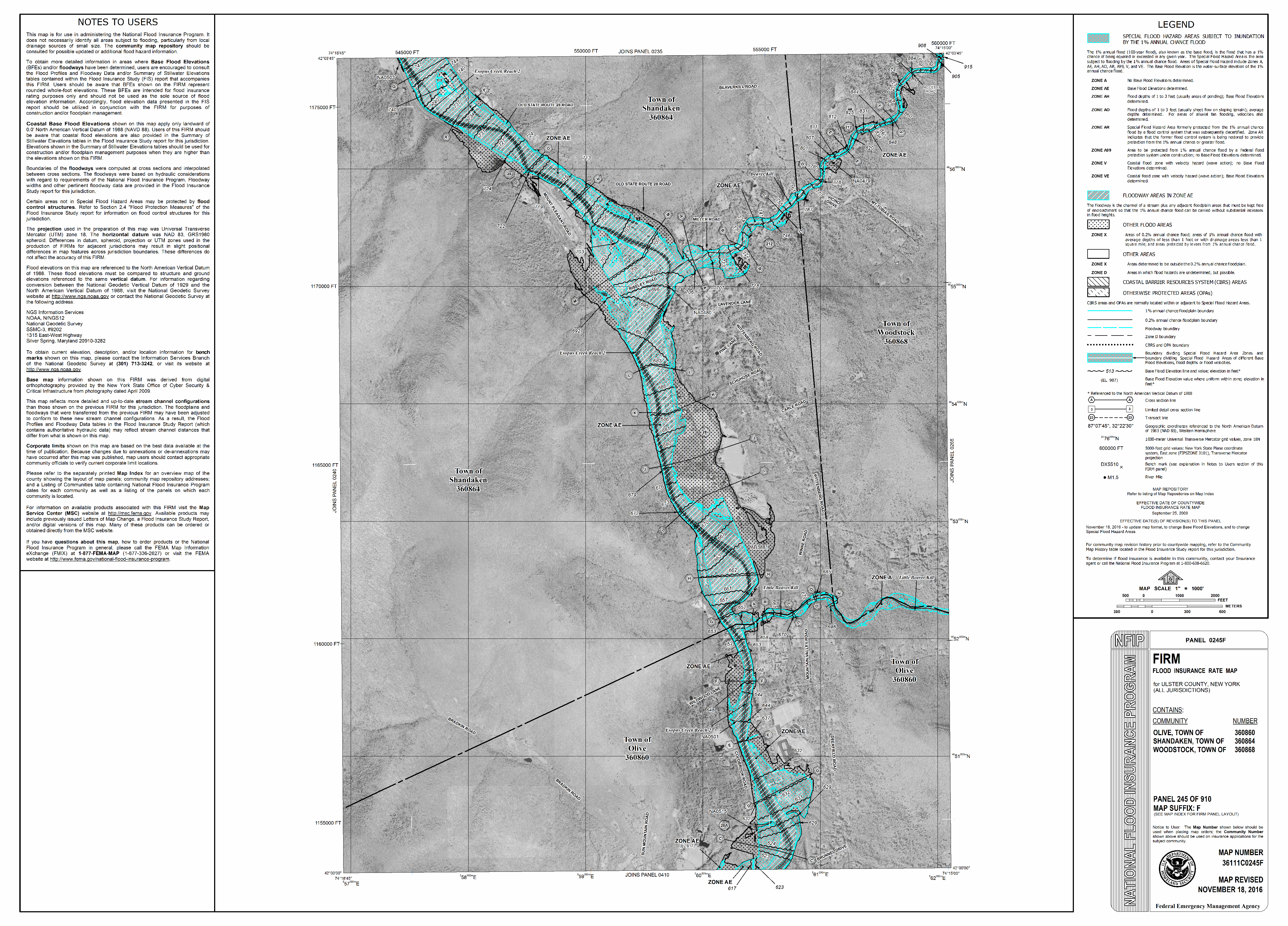
Town of Shandaken Flood Maps 6/20/16
BIG INDIAN – OLIVEREA (MCKENLEY)
.png)
.png)
TOP PANTHERKILL – WINNISOOK (NOT MAPPED)
.png)
ALLABEN – CHICHESTER – PHOENICIA – WEST
.png)
TOP STONY CLOVE – PHOENICIA – EAST
.png)
.png)
Contact Us
Town of Shandaken
P.O. Box 134
Shandaken, NY 12480
Phone: (845) 688-7165
Fax: (845) 688-2041